East Camp Creek - Bob Creek Area
DescriptionA nice ride down a beautiful valley on a quad track. This has an initial steep climb out of the Bob Creek which ends up in East Camp Creek valley. There are a few wet spots and stream crossings so it might be better - the ride back doesn't take as long
LevelBeginner
There is a steep initial climb out of the valley but other than there is no real strenuous section. Distance7 Km (one way)
Duration:1.5 hour (one way) - for slow pokes like me (during the dry season you could cut this time in half if you push it).
Land AgencyForest Reserve - Bob Creek Wildland
You are in the Forest Reserve for the majority of the ride. However, you do initially cross Bob Creek Ranch land but as long as you stay on designated trails you have permission to cross that land. DirectionsComing north on Highway 22 from the Crowsnest pass, go past the Maycroft turn off and Oldman River bridge and then take a quick left going West on the gravel road. Don't take the turn to the left which goes back to the Oldman picnic area - keep going west on the gravel road which goes along beside the Oldman River. The road eventually turns north (right) and goes past the Bob Creek Ranch down in the valley to your right (East). Continue on the gravel road ignore the road down to the ranch. Quite soon you end up at end of the gravel road which is the staging area for the Bob Creek area. This is where you park your vehicle (no regular vehicles are permitted beyond this point).
From the the gravel staging area head out and you will see large notice board in the distance to the north go there and continue on the trail that heads out in a easterly direction going up over the hill. Note: this is a designated quad trail so you may encounter quads along the way. Basically once you get up the steep hill the trail turns north and goes up the Camp Creek Valley. This is a beautiful open valley trail. Eventually the track forks at a top of a sharp rise - the designated quad trail goes to the left and the trail on the right is for non-motorized vehicles. I explored just small distance down both trails. Note: the end point way point is not really and end point because the trails continues but a nice spot for a lunch - down by Camp creek. Disclaimer: This now shows my nerve - or better put, the lack there of. When I get back this far and the trail gets into the trees, I do get a bit nervous about being back in so far alone. That is usually when I turn around and make for home. What I am trying to say is there is probably much more to explore here and had I been with a partner, I probably would have gone further. Note On this trip, I had intended to go north on the trail down the Bob Creek Valley but the creek was still swollen and while I could have easily forded the creek, the thought of having wet feet the rest of the day was not appealing. Typically by August you can easily jump across this creek - it has been a very wet year (2013). 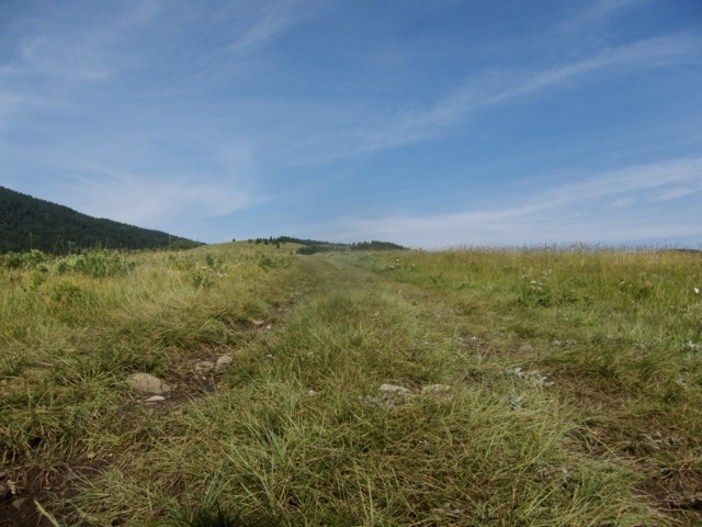
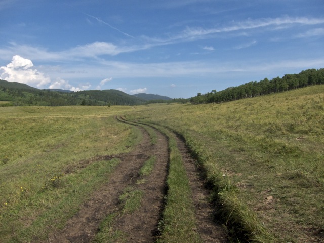
Top of Initial Climb
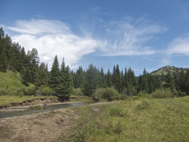
Camp Creek - End Point Lunch Spot
|
Looking Down East Camp Creek Valley
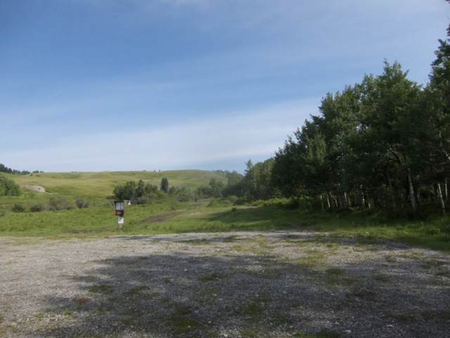
Bob Creek Staging Area - Trailhead
Garmin Route Data
Garmin WayPoints
Maps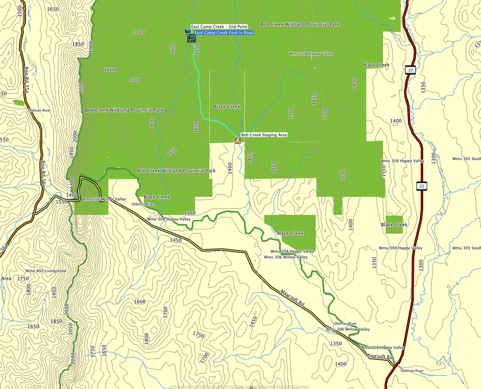
General View (blue line - bike trail)
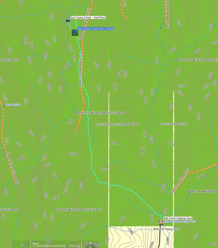
Detailed View (blue line - trail)
| ||||||